Database map links
In order to make the UK Prominent Peaks database easy to use, there are a range of maps available. These include both maps focusing on a particular peak and those covering wider areas.
Map links in peak list
In the Database List Excel workbook there are 3 links to maps for each of the 1564 hills.
Using Snowdon as an example the first link is illustrated with the screenshot below.
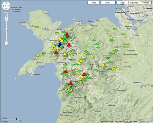
This shows all the 86 Prominent Peaks in North Wales with an appropriate icon (4 colours and 3 sizes) marking their position. This Google Map can be manipulated to zoom further in. The map can be moved across the screen by dragging with the mouse or using the direction arrows provided. The map is initially in ‘terrain’ form but you can change the view to ‘satellite’ or ‘map’. All 86 hills share the same map and you can find the one of particular interest to you by searching the list on the left (alphabetical order) or by clicking just above each icon.
More information is available on using these Google maps.
The second link to Streetmap is self-explanatory and unique for each hill.
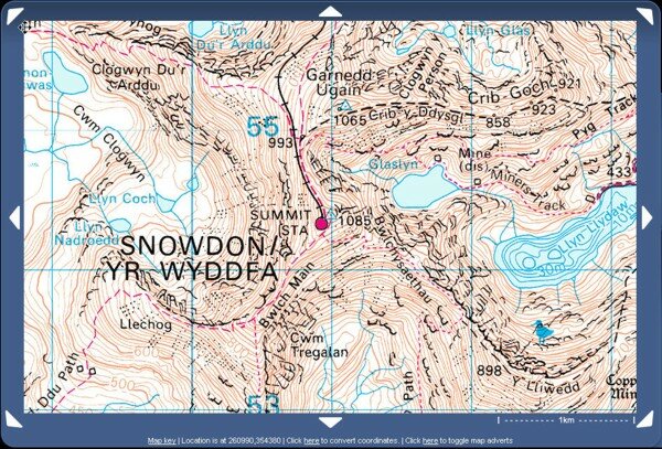
Reproduced from Ordnance Survey map data by permission of Ordnance Survey, © Crown copyright.
This map comes up showing 12 square kilometres with the summit in the middle as shown in the screenshot above.
The third link to Ordnance Survey Get-a-map comes up with a 2 � 2 km square centred at the summit.
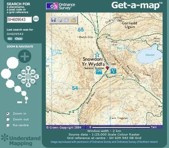
Reproduced from Ordnance Survey map data by permission of Ordnance Survey, � Crown copyright.